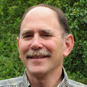
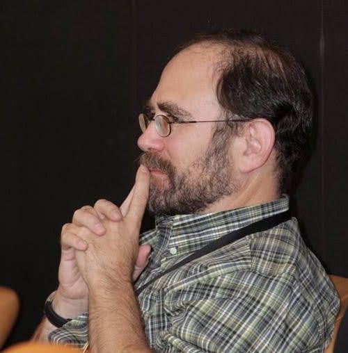
Mark Sondheim
22 Jan 2023Last week, my friend and mentor Mark Sondheim died.
I am writing a little reluctantly, because I ever only knew a fraction of who Mark was. We were professional friends, we met and worked together because of technology and software. While I knew he was a devoted husband and father, I never really knew much of the texture or detail of those relationships, just that they were. So I cannot really celebrate Mark in full; perhaps it is the nature of modern life that it’s hard for anyone to be celebrated that way, but I do want to celebrate the person I knew.
I met Mark in 1997, early in my career, and was very fortunate to do so. By that point Mark was a manager in the BC government, overseeing a number of different projects in the mapping and analysis of resources, and one of those was a watershed analysis project I had managed to worm my way into as a sub-contractor.
It became very clear early on that Mark was interested in the details of what was going on in his projects. He wasn’t a “just get it done” manager, he was a “how is it going, what’s working what’s not, let’s talk about it” manager. He was endlessly curious and constructive, and that was something I tried to model later in my career when I had project teams of my own.
I think Mark’s curiousity manifested itself most in his willingness, his eagerness rather, to attack core problems in our field directly, rather than delegating the problems to a vendor or some other promise-maker. He trusted in the smart people around him, and I am proud to have been one of the smart people he trusted.
For most of you, Mark’s name will be one you haven’t heard before, but if you work in geospatial technology, you have been touched by his work, because it is woven all through the centre of the open source software you use.
I’ve mentioned this in talks in the past. Mark’s foresight in building the case and finding the funding for the development of JTS lead directly to GEOS which sits inside QGIS and PostGIS. And that was just one example of Mark’s willingness to take a risk to seed innovation in our industry.
Not all or even most of those seeds were open source. Safe Software (which makes our industry’s finest ETL tool, the FME) was born of Mark’s pursuit of a generic data standard, SAIF, that was used in BC for a couple decades. Mark contracted the founders of Safe to build the first SAIF translators and encouraged them to continue their work, which led to the FME and a still-flourishing local company.
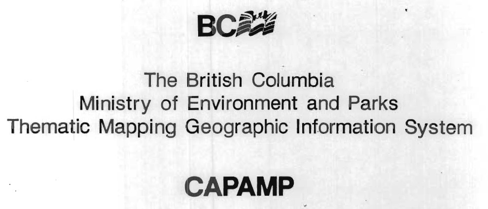
Well before I met him, Mark led a team that built an early large scale analysis engine, CAPAMP, that was used for reporting and project work in BC for many years. Reading the acknowledgements Mark wrote, you can see him already working with teams of really smart people, building something detail oriented, not outsourcing risk and innovation, but gathering it close and nurturing it. I think it’s no coincidence that the list of collaborators also includes many of the future leaders of the BC geospatial sector.
I often tried to get Mark to admit the extent of his influence and importance to our industry, but he demurred. He’d point to his own professional models, like his early boss Art Benson, who granted him the freedom to experiment and explore within a government structure that too often defaulted to risk management and timidity. He paid forward his lessons though, and gave that same freedom to the people who worked for him, including me.
For me, that freedom meant being able to propose solutions that didn’t conform to “industry standards” as defined by government, but just worked. Superficially risky things like PostGIS and JTS and the FME that, 15 years after Mark was accepting and encouraging them, are now recognized as the workhorses of our industry.
The first production PostGIS database was run in our office and used as the backing store for another of Mark’s innovative projects, the BC Digital Road Atlas. Mark was PostGIS customer zero. Much of the early development of PostGIS was spurred by the needs of the DRA.
The BC Freshwater Atlas was built with PostGIS and JTS, after Mark turned around a project that was headed nowhere fast. In some ways, the project was a culmination of his earlier bets on PostGIS and JTS. The tools were at hand, because he’d incubated them years earlier. In the grand tradition of government, I don’t think Mark ever got credit for this project, which would have either not delivered, or delivered at 5x the cost if he hadn’t re-imagined it. Mostly he got grief, which he bore with gracious patience.
I don’t think I ever saw Mark get visibly angry. In fact, my first memory of him is an incident in which he was protecting me from the (loud, yelling) anger of his own boss, who felt (correctly, in all honestly) that I hadn’t moved a small project of his forward fast enough. Mark brought the temperature down, even though it was his own boss he was dealing with, and helped us focus on the work, what needed to get done. In the future, we dealt with no end of frustrating or potentially angering problems together, but his default was always calm, and always finding the next step to a solution.
In later years, when we had both left our connections with the provincial government behind, it was still always a pleasure to talk with Mark, because he retained his bottomless curiousity and willingness to honestly share. What was I working on, how was it hard, had I considered this approach? This is what he was thinking about, did I have any thoughts, should he do this? As an intellect, Mark was a friendly giant, he never calcified, and he didn’t arrive with a lot of ego. He was always a pleasure.
I will miss Mark a great deal, and our industry will too, even if mostly it doesn’t realize the debt it owes him. Thank you Mark, for all you shared with me on your journey.